After Patty and I visited the Cimarron National Grassland, we continued south-west on Route 56 and then, just past Boise City, OK, we turned due south onto Route 385. We completed our crossing of the Oklahoma panhandle and then headed down into Texas. The next stop for us was just across the border, a little section of the Rita Blanca National Grassland.
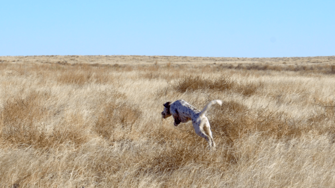
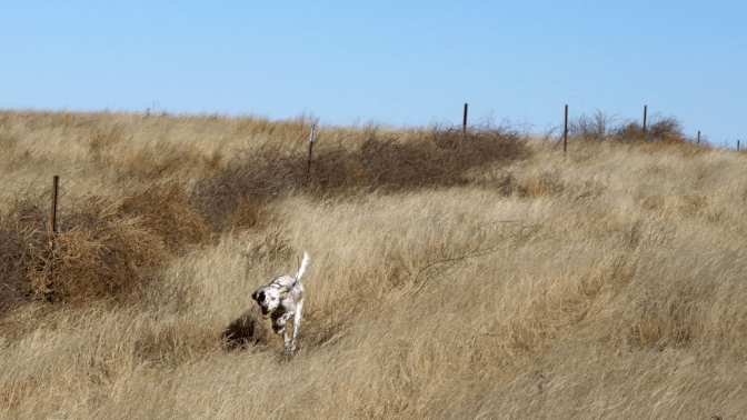
As before, we just pulled off the highway onto a trail that led into a section of grassland. Patty was ready to run again and this time there weren’t any cacti, yucca or other thorny plants to slow him down. He bounded off to explore.
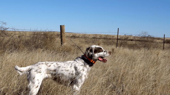
It is important to note that both the Cimarron and Rita Blanca Grasslands are not contiguous blocks of land. They are, rather, a scattered pattern of public ground interspersed with privately held land. In order to respect the private landowners, maps are a crucial asset. USDA provides maps here (Cimarron) and here (Rita Blanca) that show the trails and roads open for public access.
As at Cimarron, Patty and I only got to explore a small part of Rita Blanca. Both grassland areas actually include some diverse terrain including the Cimarron and Canadian River valleys and canyon lands.
Once again, this small taste gave us an even bigger appetite to return and explore some more.
